This row are all memorials at InjingakViewof "The Iron Bridge" where a train goes to Dorasan Station, the last station to link into North Korea if Unification is to ever happen down the road.A piece of the DMZ fence !!
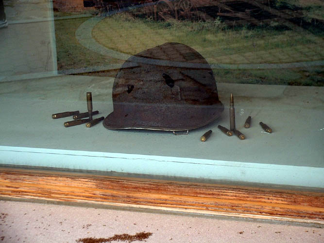
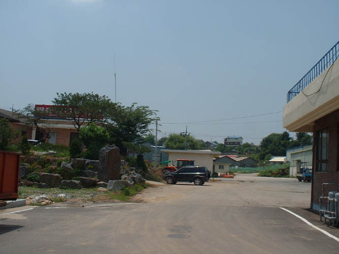
More from Imjingak Park. (Part of DMZ)
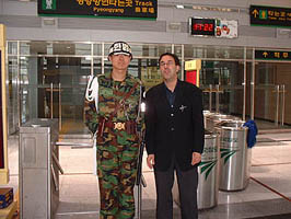
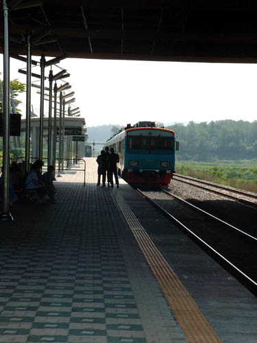
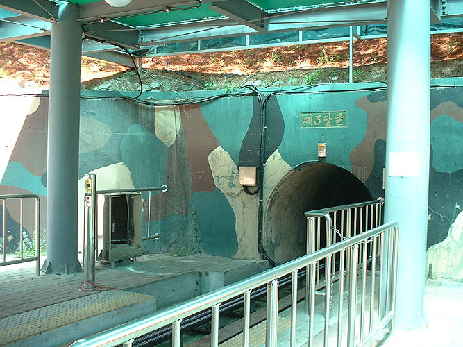

3rd Tunnel Tour

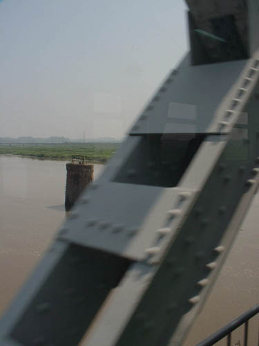
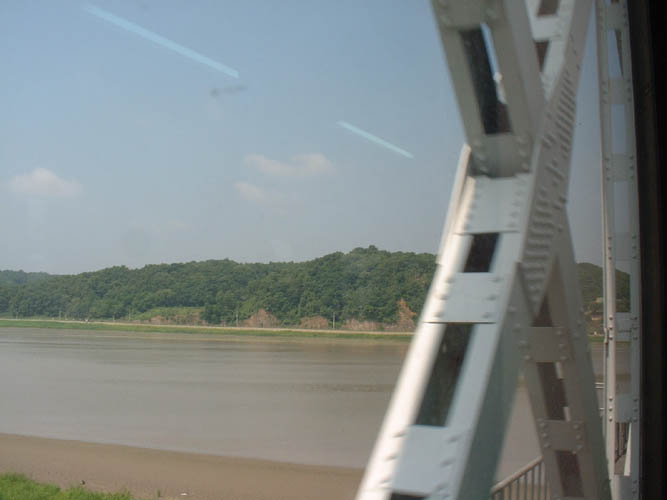
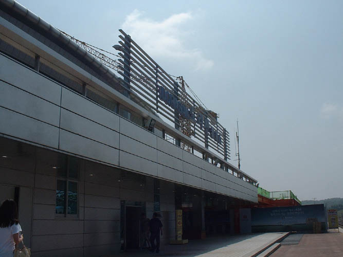
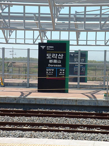
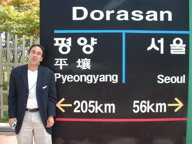
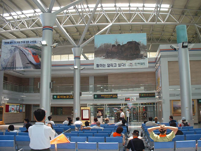
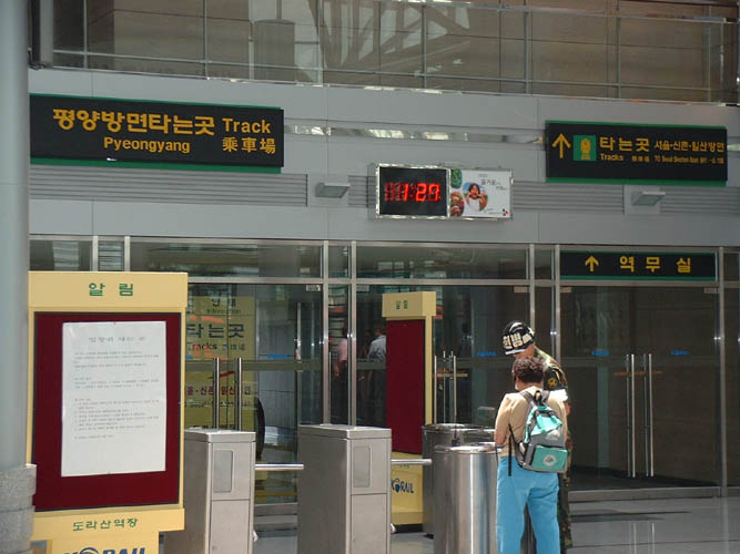
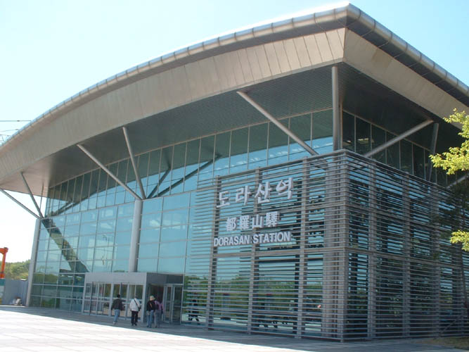
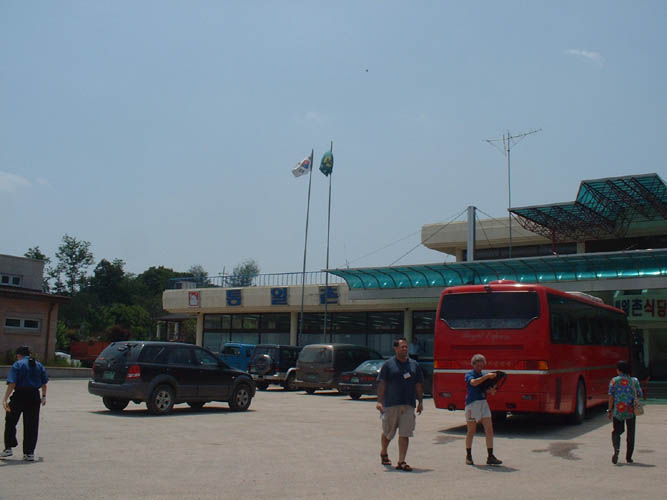
A. Train from Imjingak to Dorasan Station.

George W's Autograph !!!!!Stamp in my passport at Dorasan Station

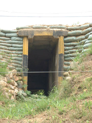
B. This is the 3rd Tunnel Infiltration Tunnel (The Military were not allowing pictures inside the tunnel)

Outside the 3rd Tunnel

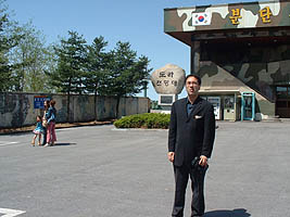
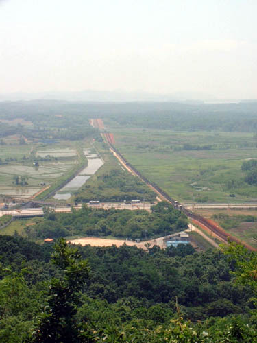
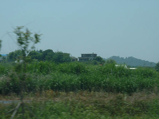
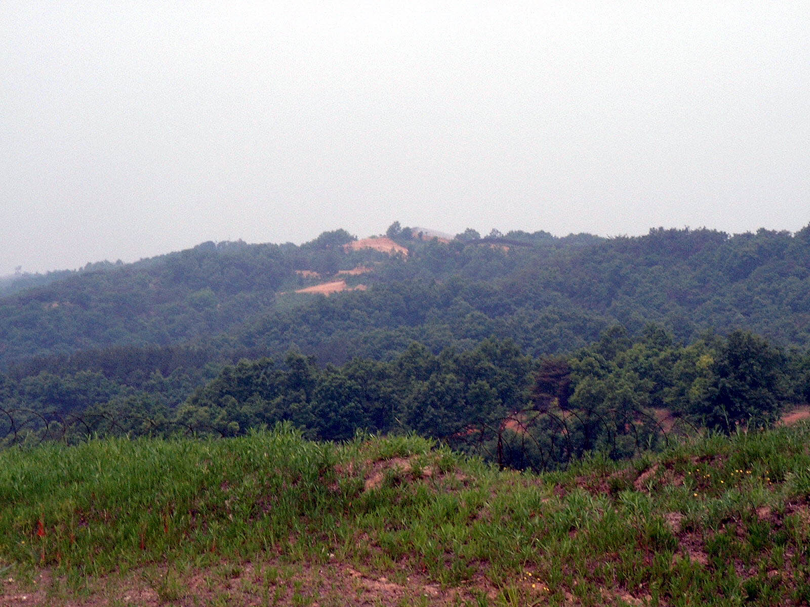
C. From Dora Observatory: viewing into North Korea (Propaganda Village, Farm Land, and the outskirts of the city of Gaeseong)

The Southern Most Boundary line is here !!!looking into North Korea

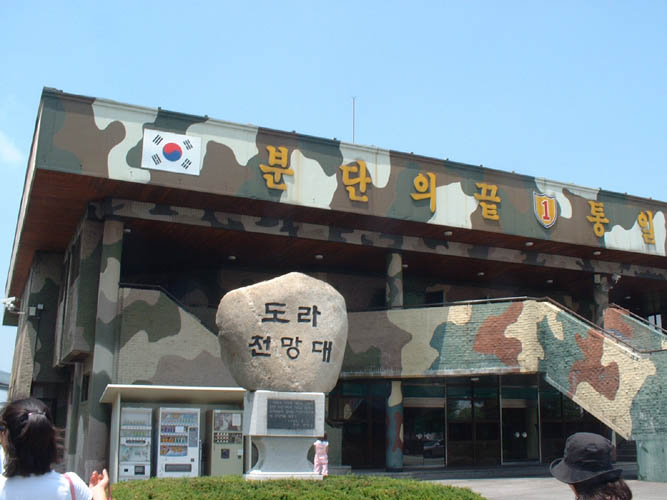
D. Tongil (the only village in the zone, with a population of 500 people)
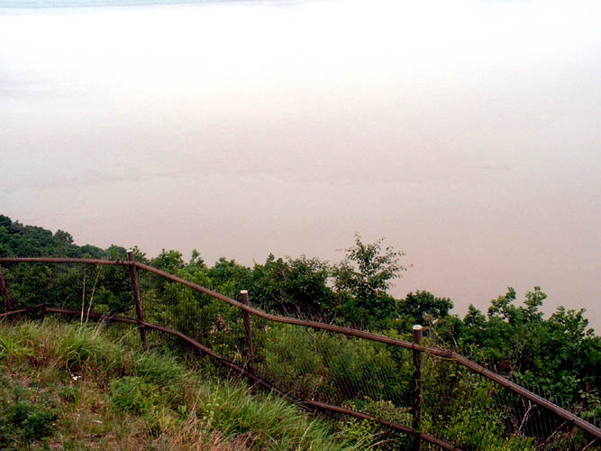
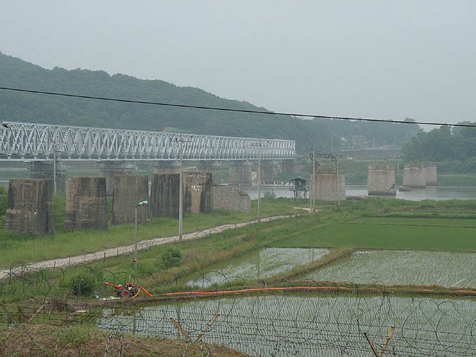
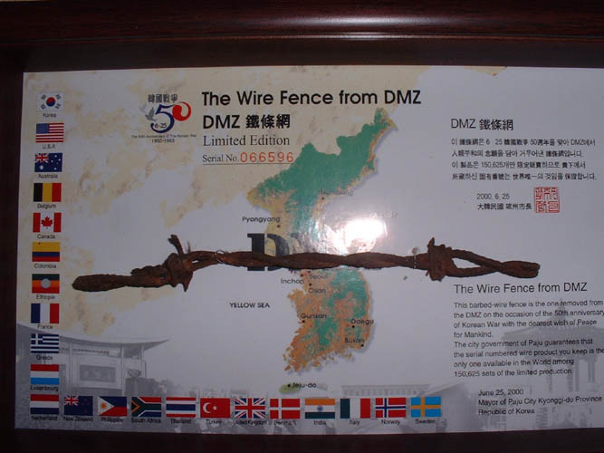
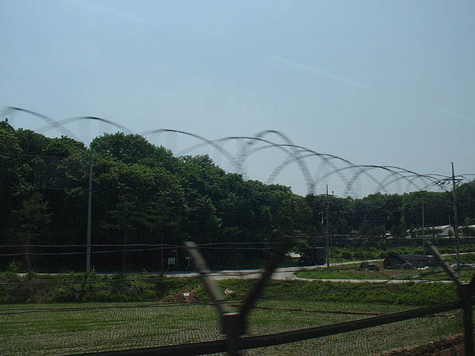
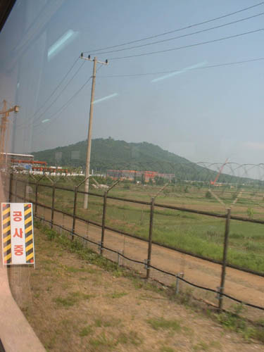
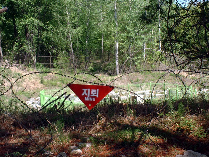

DMZ FENCE TOUR

Fence, at the Southern tip. Guard Trench overlooking across the penninsula into North KoreaThis was the boat which I went on for the ride down the Imjin River to view the 600,000 year old rock formations.
On Jan,21,1968, North Korean Militaries led by Kim Shinjo, attempted to invade again. This spot was the Infiltration Place.View into North Korea.  I kept the blow up picture of large size.  You can see far into the mountains a fence.  That's North Korea's Fence. Where I was standing, it was only 2km to DMZ Fence which is the border lineMore along the fenceDMZ Checkpoint.  Sits just inside of the advance base, opposite North Korea.  This tower you can view into North Korea.  Pictures were not allowed here, other than just this one.Bluff. Made of stone pillar, formed 600,000 years ago.  Along the Imjin River.  You can take a boat cruise along the river to see these..
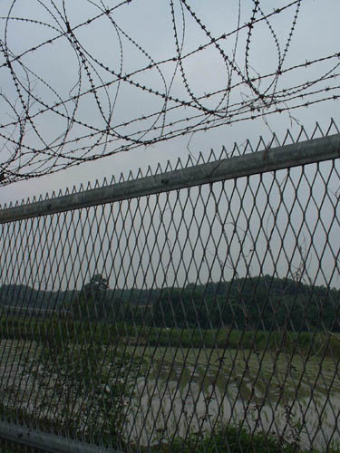
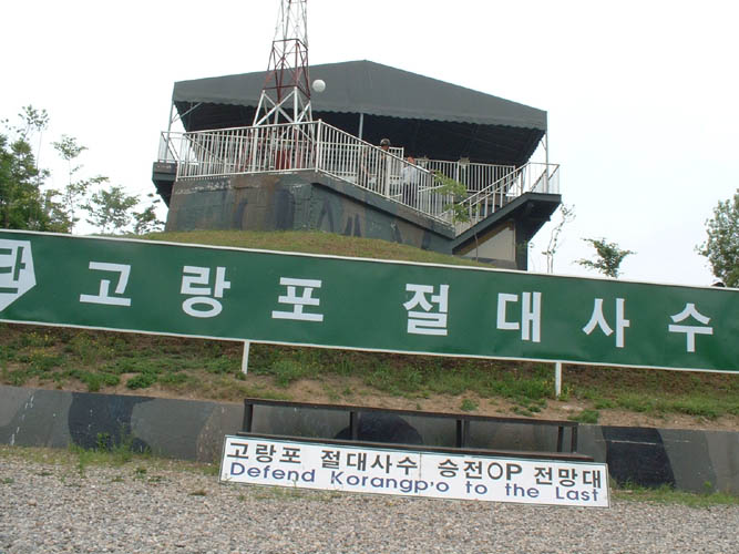
The fence separating North and South Korea consists of three fences.  1. The Southern most (where we are only to stand behind, 2. DMZ (Actual borderline..  Note Only in Panmunjon you can actually cross the DMZ line into North Korea) , and 3. North Korea's fence.  I was pretty much restricted in taking pictures here, since this was a regulated military area.


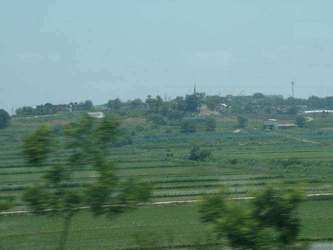
ODUSAN UNIFICATION OBSERVATORY

Just a map of the area.
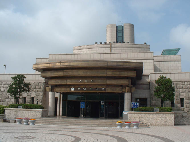
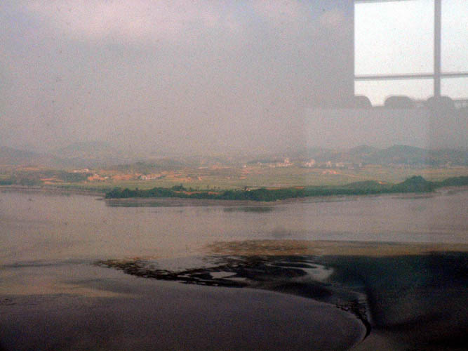
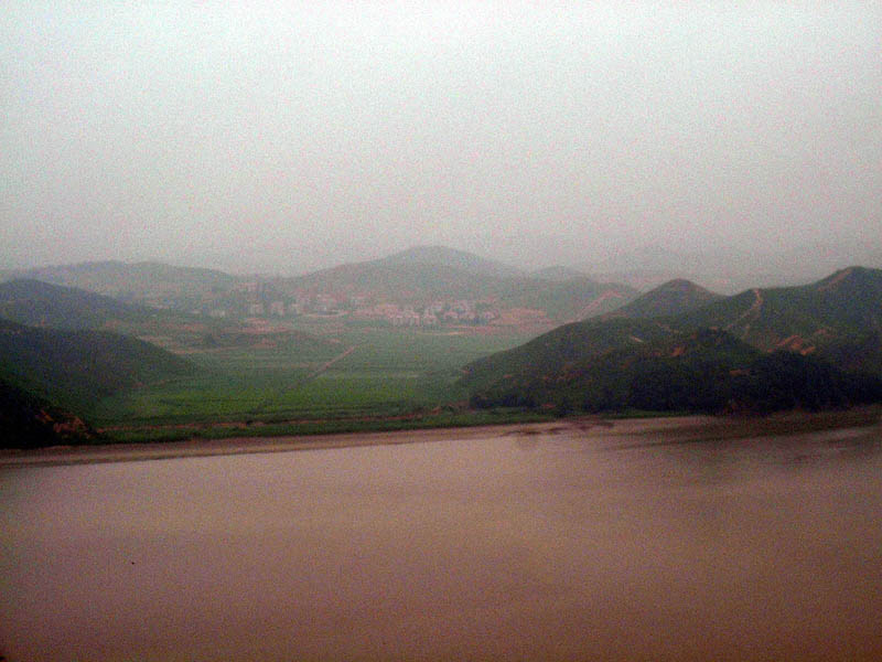
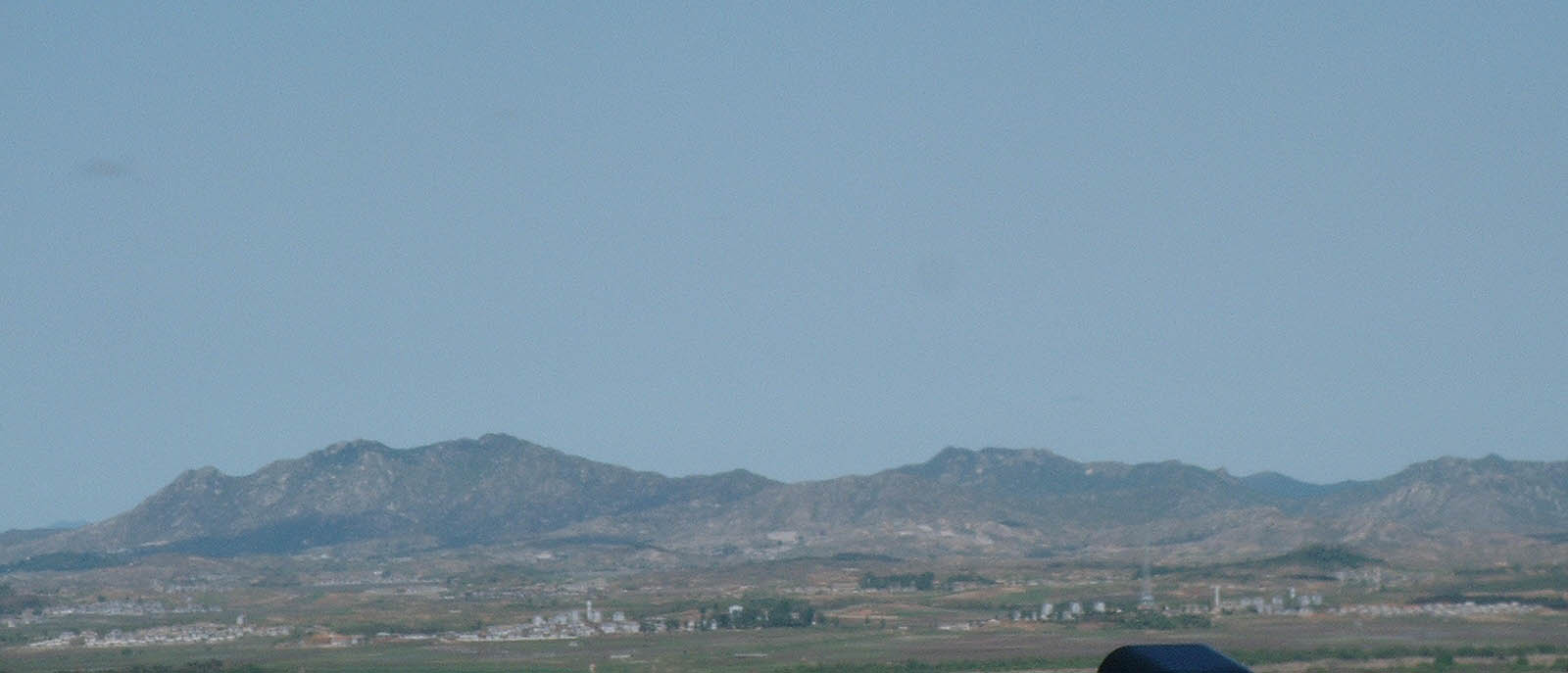
From Odusan Unification Observatory.  From here you can view across the Peninsula, the Songaksan Diamond Mountains and the city of Gyeseong (North Korea)


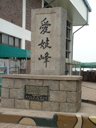
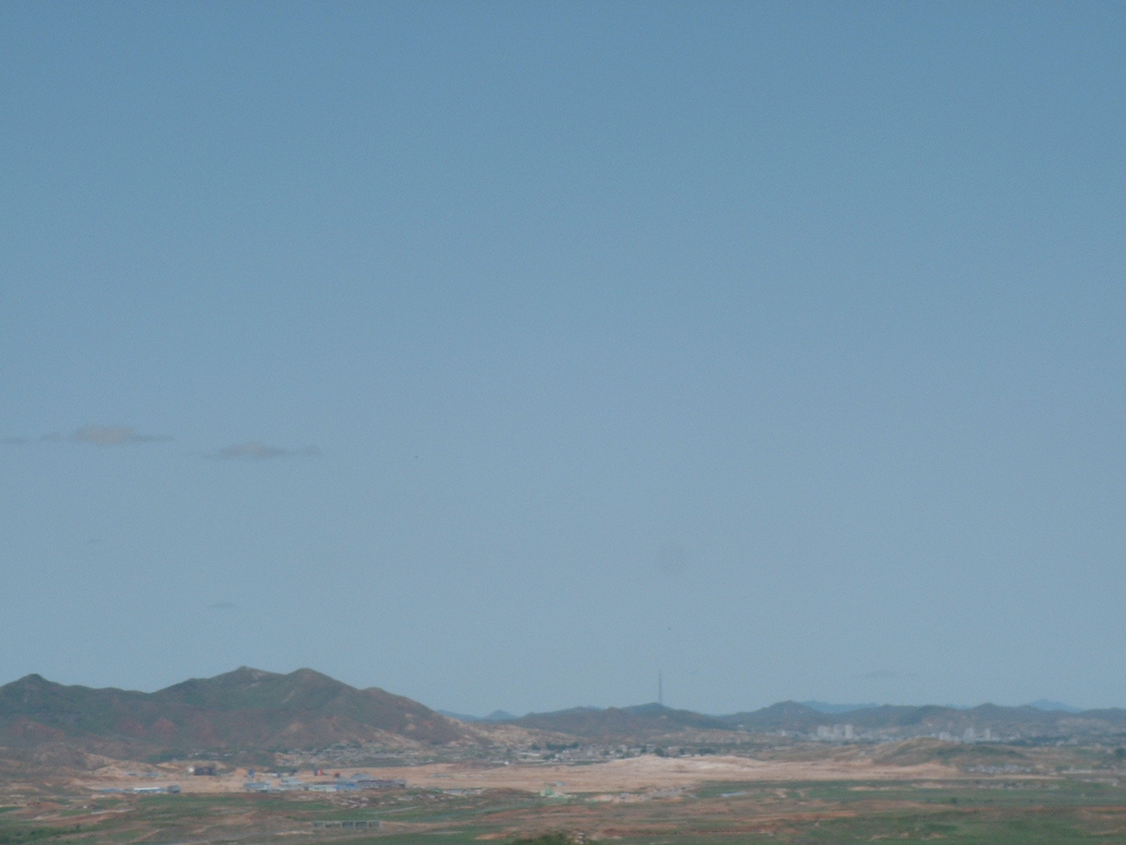
Aegibong Peak Here you get an excellent view of the city of Gyeseong)